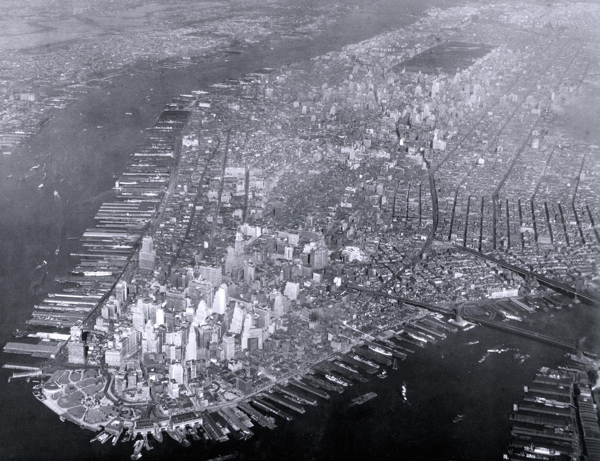
Manhattan Island - 1928
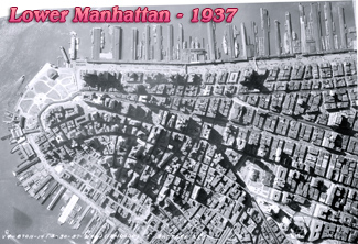
Aerial photograph of the Manhattan Island and its docking facilities, dated October 30, 1928 (11 AM). Source: Records of the Army Air Forces. U.S. National Archives and Records Administration.
Battery Park is in the foreground and East River to the right. The Hudson River is to the west side of the island and New jersey is across the river.
Manhattan Island is 22.7 square miles in area, 13.4 miles long and 2.3 miles wide, at its widest point, near 14th Street. In the following few years, several skyscrapers were built in Manhattan, including the Empire State Building in Midtown.

Manhattan Island - 1928
|
Copyright © Geographic Guide - 20th Century NYC Skyscrapers. |