
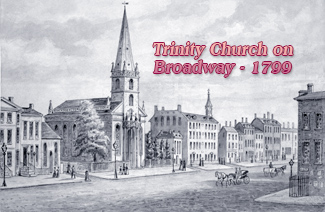
Lower Broadway from Trinity Church to St. Paul Chapel - Late 18th Century
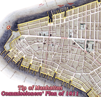
This is a fragment of the Plan of the City of New York about 1795. Author on print: J.A. Del. - Engraved by P.R. Maverick 65 Liberty Street ("the Maverick Plan" from Barry Lawrence Ruderman Map Collection), with additional text. It is considered to be the first large scale plan of New York after the Revolutionary War.
This fragment shows the part of Lower Manhattan from Trinity Church to the old Park that became the City Hall Park in the 19th century. Chatham Row became Park Row. The old Brick Church was demolished in 1856 and site was used to erect the New York Times building.
An Fraunces's Tavern operated at 49 Cortlandt Street, between 1789 and 1790, but it was a different tavern than the iconic Fraunces Tavern at the corner of Broad a Pearl streets.
More: Maps of NYC - 18th Century ►
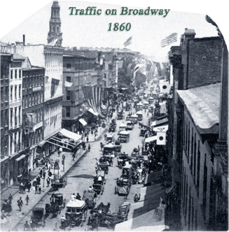
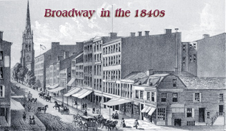
Broadway, looking north in 1860. The City Hall Park and the spire of St. Paul's Chapel are in the distance.


|
Copyright © Geographic Guide - NYC Map, 18th century. |
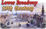
Lower Broadway from Trinity Church to St. Paul Chapel - Late 18th Century