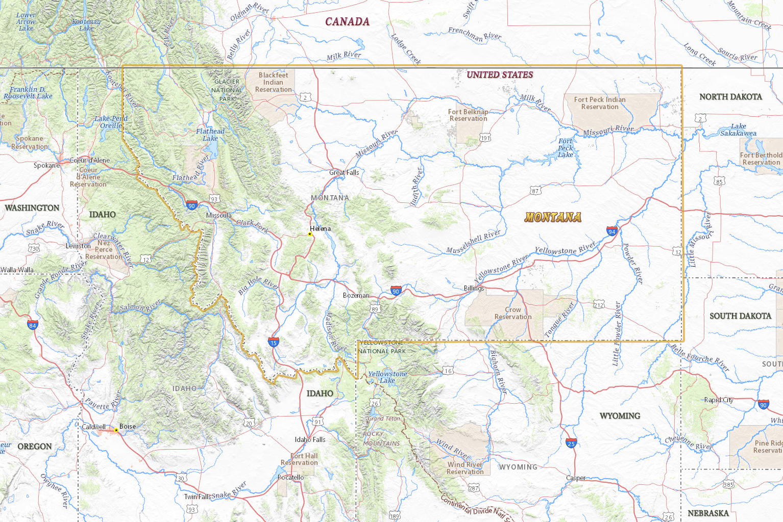
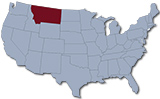
Map of Montana
Montana is one of the northern states of U.S. It entered the Union in 1889. The capital is Helena and Billings is the largest city. Montana is partially mountainous and two-thirds of the state is part of the Great Plains. It is bordered by Canada to the north. Montana is also bordered by U.S. states of North Dakota, South Dakota, Wyoming and Idaho.
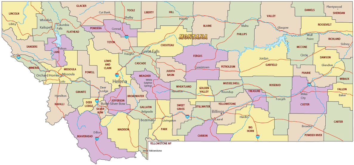
Political Map of Montana
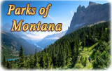
◄ Montana
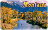


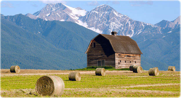

Farmland below the Mission Mountains, near Pablo.

|
Copyright © Geographic Guide - Travel United States of America. |
Source (edited): USGS National Map.
Map of Montana
Credit: Donnie Sexton