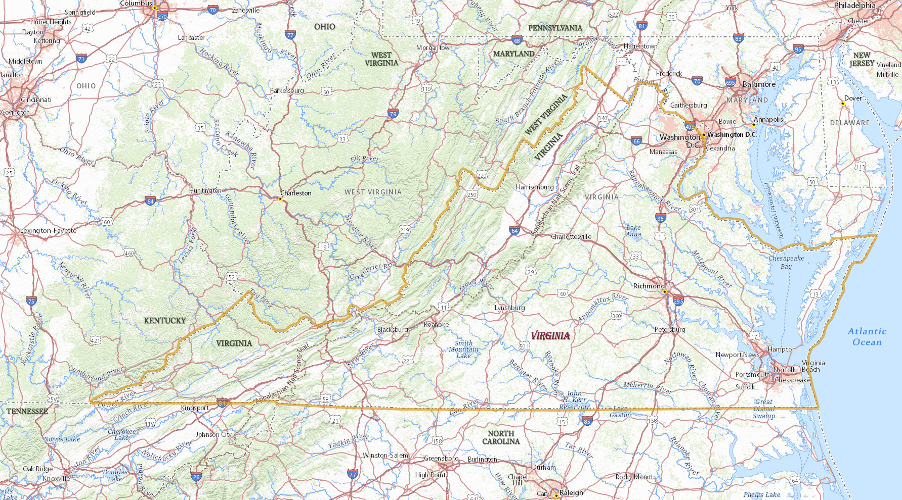
Map of Virginia
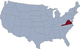
Virginia is a state in the eastern United States (Atlantic Coast), one of the original 13 colonies. Named for the Virgin Queen, Elizabeth I of England. The state of West Virginia was part of Virginia until 1863. The capital is Richmond. Virginia is also bordered by the states of Maryland, Kentucky, Tennessee, North Carolina and by the District of Columbia.
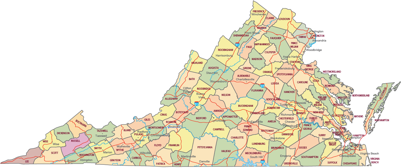
Political Map of Virginia


|
Copyright © Geographic Guide - Travel United States, North America. |
Source (edited): USGS National Map.
Map of Virginia