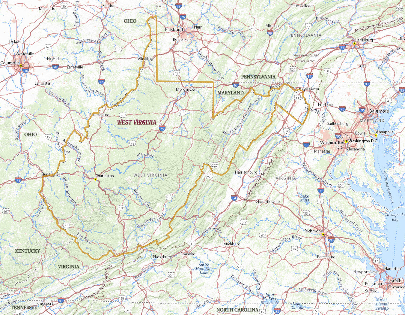
Map of West Virginia
During the Civil War, after Virginia became part of the Confederacy, the West part, loyal to the Union, formed a separate state, in 1863. Charleston is the capital and the largest city of West Virginia. It is bordered by the states of Maryland, Virginia, Ohio, Kentucky and Pennsylvania.
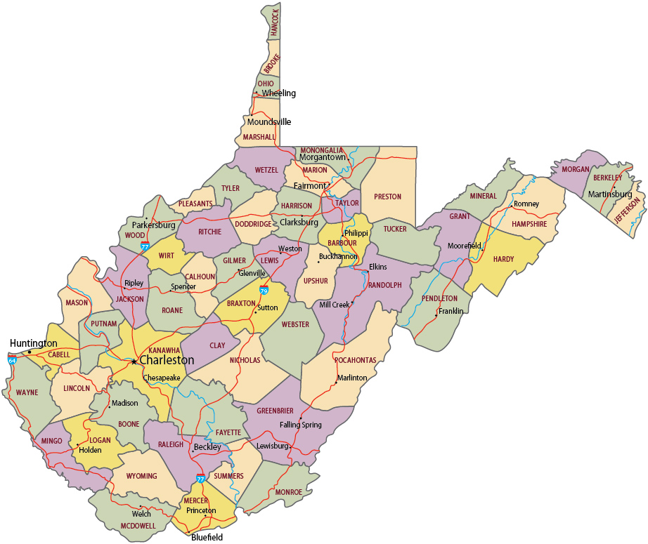
Political Map of West Virginia

Buildings at the historic town of Harpers Ferry, West Virginia.


|
Copyright © Geographic Guide - Travel United States of America. |
Source (edited): USGS National Map.
Map of West Virginia