Images from Space
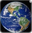
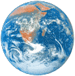
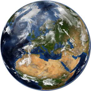
Impressive images of our Blue Planet from space can be seen on this page. Most images are from NASA and the U.S. Geological Survey.
The first aerial photograph was taken from a balloon, in 1858, by French Gaspar-Felix Tournachon (1820-1910). The first photo of the Earth from space was captured in 1946 by a V-2 missile carrying a 35-millimeter motion picture camera. It was launched at White Sands Missile Range, New Mexico.
Sputnik 1, launched in 1957, was the first artificial satellite. In April, 1961, Russian Yuri Gagarin orbited Earth inside the Vostok 1 spacecraft. He was the first human to really see the Earth from space. Since 1959, satellites have been launched to photograph the Earth from space.
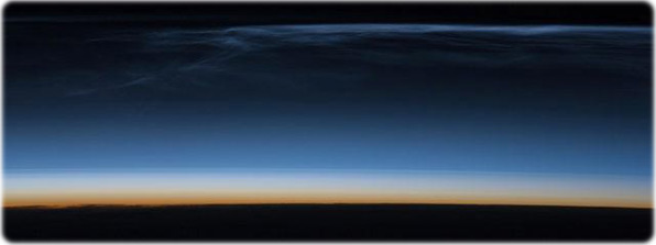
Polar Mesospheric Clouds are transient, upper atmospheric phenomena observed usually in the summer months at high latitudes (greater than 50°) of both the Northern and Southern Hemispheres. They are bright and cloudlike in appearance while in deep twilight. They are illuminated by sunlight when the lower layers of the atmosphere are in the darkness of the Earth's shadow. This image was acquired from the International Space Station at an altitude of just over 320 km in the pre-dawn hours. Image courtesy of NASA.
|
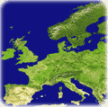
◄ Maps |


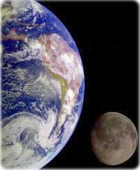
The Earth and Moon
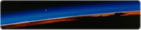
Sunset with Venus
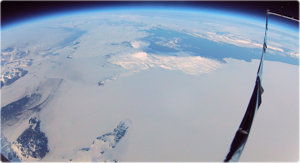
Below, the Ross Island and the surrounding area in Antarctica as viewed from a camera attached to the SPIDER (Sub-orbital Polarimeter for Inflation Dust and the Epoch of Reionization) scientific instrument at 118,000 feet. The scientific instrument is carried into the stratosphere by NASA's Columbia Scientific Balloon Facility's Long Duration Balloon (LDB) that takes advantage of seasonal Antarctic circumpolar winds. Photo taken on January 2, 2015, by Spider Collaboration, NSF.
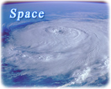
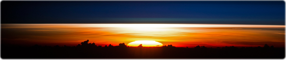
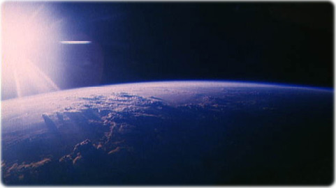
The Sun shines over the Planet, as see from space.
Sunrise over the Philippine Sea. Photograph taken on July 26, 2017 by the crew of the International Space Station.
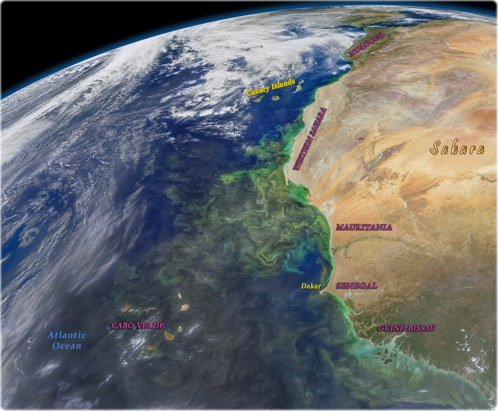
Colors of the Atlantic Ocean near the African coast taken with the Visible Infrared Imaging Radiometer Suite, which allows a better definition of colors.
|
About the Geographic Guide - Science. |
Images from Space