Images of Europe
◄ Europe maps
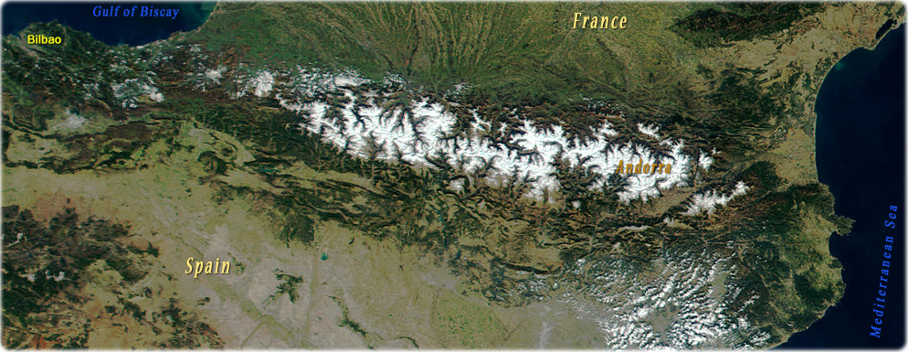
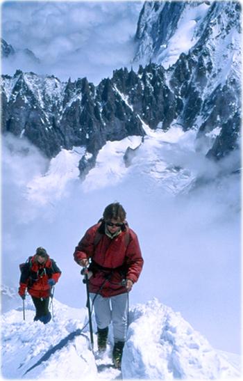
Mountain climbing on Mount Blanc, Chamonix, France.
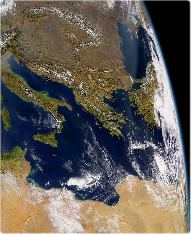
Mediterranean Sea
Black Sea
Copyright © Geographic Guide - Travel European Continent.
Africa