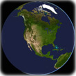
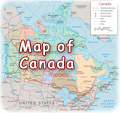
Map of North America
|
Copyright © Geographic Guide - Travel and Maps. Geography of the United States of America. |
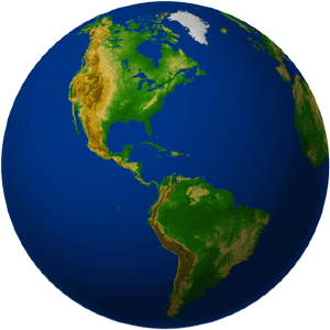
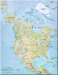
North America is the northern part of the American continent, in the the Western Hemisphere. It consists of Canada, United States, Mexico, Greenland and Saint Pierre and Miquelon islands. It is separated from Asia by the Bering Strait.
The name America is derived from that of the navigator Amerigo Vespucci. The name appeared for the first time in 1507, in a map published by German cartographer Martin Waldseemüller.

Futuristic Theme Building with a restaurant, LA International Airport, Los Angels - CA.

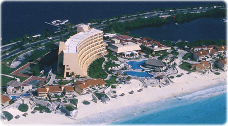
Resort in Cancún, Mexico.


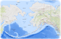
Alaska
◄ Maps