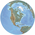
North America is one of the four parts of the American continent (the others are South America, Central America and Antilles (Latin America does not exist). It is composed of Canada (the second largest country in area in the world), U.S.A., Mexico, Greenland (Danish territory) and Saint Pierre and Miquelon islands (a small French overseas department ). The total population of the continent is about 500 million inhabitants.
Economically, North America is one of the wealthiest regions of the world. It is also a place with many natural wonders such as Niagara Falls, the Grand Canyon and Rocky Mountains. The highest elevation is Mount McKinley with 6,194 meters, in Alaska.
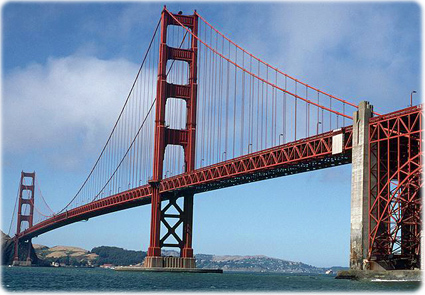
Golden Gate Bridge in the San Francisco Bay Area, California. San Francisco is a famous picturesque city of the United State. It has over 40 state-designated historical landmarks, including the Golden Gate Bridge, Telegraph Hill and Union Square.


Megan Brent skiing down a snow covered slope with a gondola lift running above her and evergreen trees in the background at Park City Canyons Village Ski Resort in Park City, Utah (Scott Markewitz Photography).

Statue of Liberty in New York.


Beach in Quintana, Mexico.
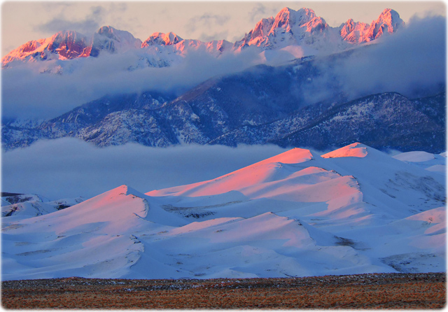
Alpenglow on Snowy Star Dune and Crestone Peaks, Great Sand Dunes National Park, Colorado (NPS / Patrick Myers).
Below, Horseshoe Falls, the largest of the waterfalls that form Niagara Falls on the Niagara River along the Canada–United States border.


|
Copyright © Geographic Guide - Travel North America. Attractions. |
Hawaii ►

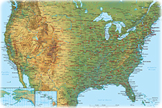
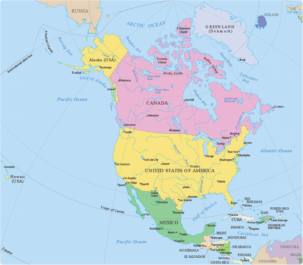
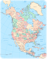
Political Map of North America
Source (edited): U.S. Geological Survey.