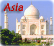
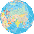
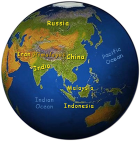
Big and complex, Asia is the largest and most populous continent on Earth. Since classical antiquity, it has been considered a landmass different from Europe and Africa (or Libya), although Europe and Asia are actually part of a single landmass called Eurasia. Asia occupies about one-third of the land surface of the Planet and it includes Mount Everest, the tallest peak in the world.
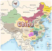
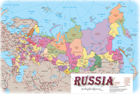
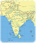
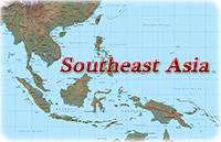
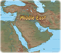
Country Maps
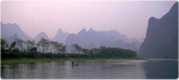
Fisherman in the Li River, near Guilin, China. A magnificent landscape, an outcrop of towers in the subtropical region of Guangxi.
|
Copyright © Geographic Guide - Travel Asian Continent. |
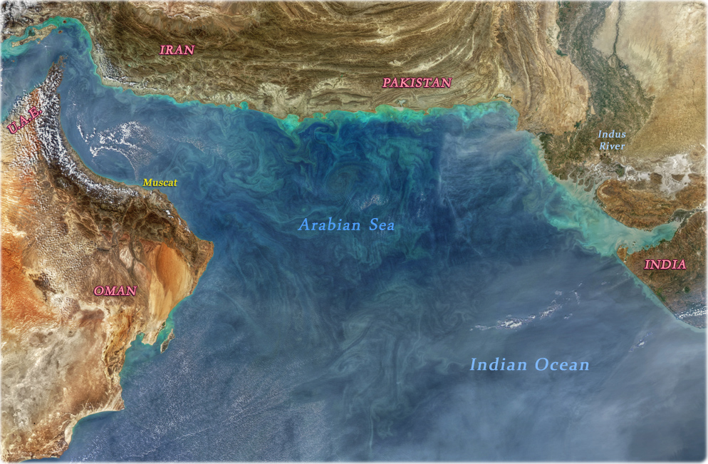
This image from NASA (Arabian Sea on November 23, 2018) shows that the ocean is more than just a hue of blue. It runs a gamut of greens to grays and everything in between. The range of ocean colors represents various types of activity occurring in the waters, like different kinds of sediment, from a variety of soils and organic debris.