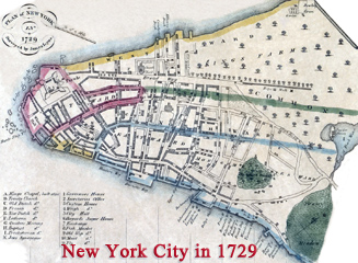
Map of New York in 1695
Map of New York in 1695. Drawn in the 19th century after the plan (inverted) attributed to John Miller (Cohen & Augustyn. Manhattan in maps, 52-53). Source: Norman B. Leventhal Map & Education Center / Boston Public Library. Sea the Valentine's Manual 1843 version below.
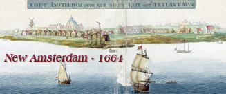
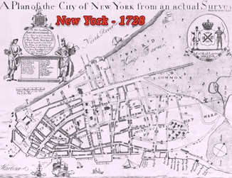
The old New Amsterdam came under English control in 1664 and it was renamed New York after King Charles II of England granted the lands to his brother, the Duke of York. The same name was given to the English Province of New York. Reverend John Miller (1666-1724) arrived in New York, in 1692, as a designated chaplain to the city's British garrison. He was the only Episcopal clergyman in the province for three years. In 1695, during his voyage back to England the ship was captured by French privateers and he threw his notes and drawings overboard so that they would not fall into the enemy's possession. After imprisonment in France he returned to England were he prepared a manuscript map of the city entirely from memory. More: Maps of NYC - 17th Century ►
More: Historical maps of New York City ►

|
Copyright © Geographic Guide - 17th Century NYC. Historical Maps. |
by John Miller (inverted)

Map of New York in 1695