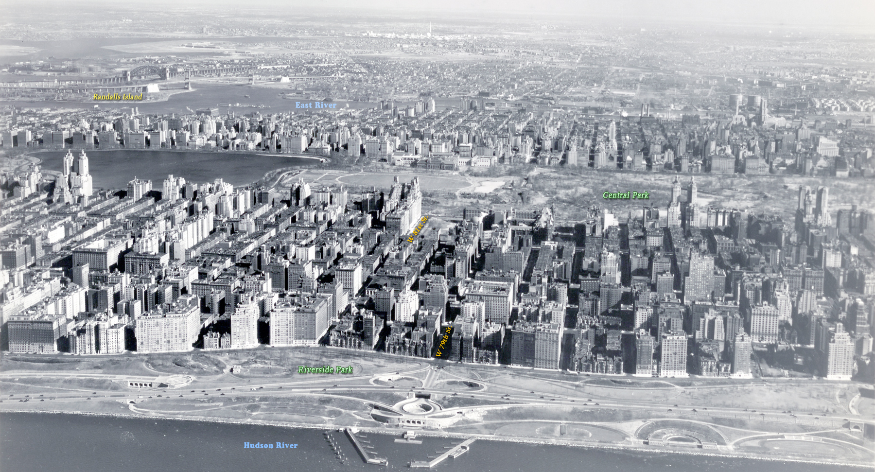
Central Park Area, Manhattan Island - 1940
Aerial photo of Manhattan Island, looking east from Hudson River, showing the central area between about 97th Street, on the left, to about 71st Street, on the right, with Central Park in the middle. Photograph dated March 11, 1940. Source: Mitchel Field, Records of the Army Air Forces / U.S. National Archives and Records Administration. Below, enlargement of buildings in the center.
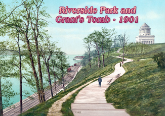
The Riverside Park in the foreground is a scenic waterfront public park in the Upper West Side of Manhattan. The park is 4 miles long and 100 to 500 feet wide, running between the Hudson River and Henry Hudson Parkway to the west and the serpentine Riverside Drive to the east.
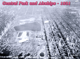
More: 20th Century Skylines of NYC ►

Central Park Area, Manhattan Island - 1940
|
Copyright © Geographic Guide - 20th Century NYC. |