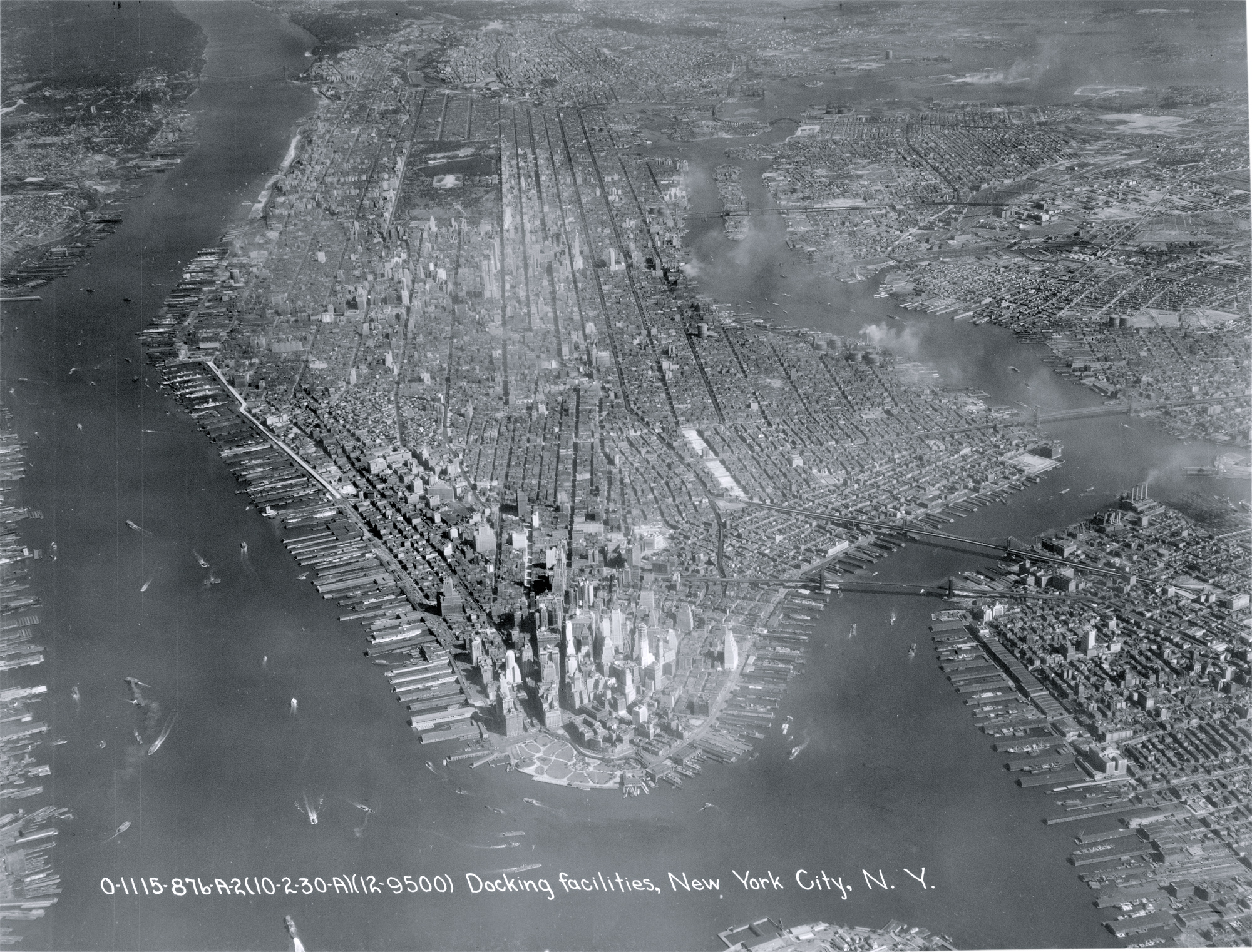
Manhattan Island - 1930
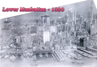
Aerial photo of Manhattan Island and its docking facilities seen from the Upper New York Bay, dated October 2, 1930. Source: Langley Field, Records of the Army Air Forces.
Battery Park is in the foreground, Hudson River, a tidal estuary that separates the Bronx and Manhattan from Northern New Jersey, is on the left and East River is on the right. Empire State Building was under construction in Midtown Manhattan.
Manhattan Island is 22.7 square miles in area, 13.4 miles long and 2.3 miles wide, at its widest point, near 14th Street. It is located on one of the world's largest natural harbors. Manhattan is the most densely populated borough, geographically the smallest of the five boroughs of New York City and home to most of the city's skyscrapers. It contains the major business centers of the city and many cultural attractions. Manhattan is loosely divided into Downtown (Lower Manhattan), Midtown and Uptown regions.
More: 20th Century Skylines of NYC ►
Manhattan Island - 1930
|
Copyright © Geographic Guide - 20th Century NYC Skyscrapers. |