Governors Island - Vintage Images
The historical Governors Island is a 70 hectares island in Upper New York Bay, borough of Manhattan. The significance of Governors Island largely derives from its role as a major component in the defense system of one of the country's most important harbors: New York Harbor.
Native Americans called the island Pagganuck (“Nut Island”) because of its chestnut trees. It was known as Noten Eylandt by the Dutch settlers, in the 17th century and Nutten Island by the British in the early 18th century.
In 1624, the Dutch West India Company sent some 30 families to live and work in New Amsterdam. They first set up camp in "Noten Eylandt", where they constructed a fort and sawmill. Many resettled on Manhattan Island the following year.
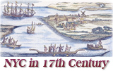
More: New York in the 17th Century ►
In 1698, it was reserved as a residence for British governors, so it was called "Governor's Island" and officially became Governors Island, without apostrophe, in 1784. It the 18th century the Island was also used as a livestock farm and quarantine station.
In 1794, after the War of Independence, a defensive structure was built on the Island, later called Fort Jay. In 1800, Governors Island was transferred to the U.S. government and, between 1806 and 1809, the Fort was reconstructed and renamed it Fort Columbus. Castle Williams, a second fort, was built facing the harbor. In 1812, the South Battery was constructed. After the Civil War, the Army built six new generals’ houses, now known as Colonels Row. In 1904, Fort Columbus was renamed to the previous name, Fort Jay.
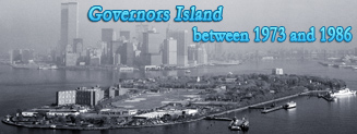
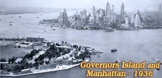
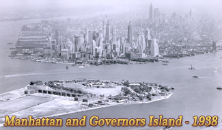
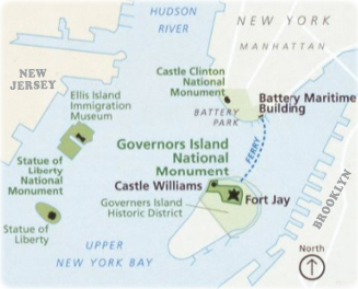
By 1912, the size of the Island increased to the current size of 70 hectares with the landfill on the south side. In 1966, the Island was transferred to the U.S. Coast Guard. In 2001, 22 acres of the Island, including Fort Jay and Castle Williams, were designated as the Governors Island National Monument, to be owned and managed by the National Park Service. The remaining 150 acres of the Island was sold to people in New York. In 2005, Governors Island was opened to the public.
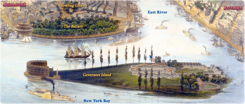
Governors Island by 1855. Fragment of the illustration The Empire City by John Bachmann.

Castle Williams
|
Copyright © Geographic Guide - Antique images of NYC. |

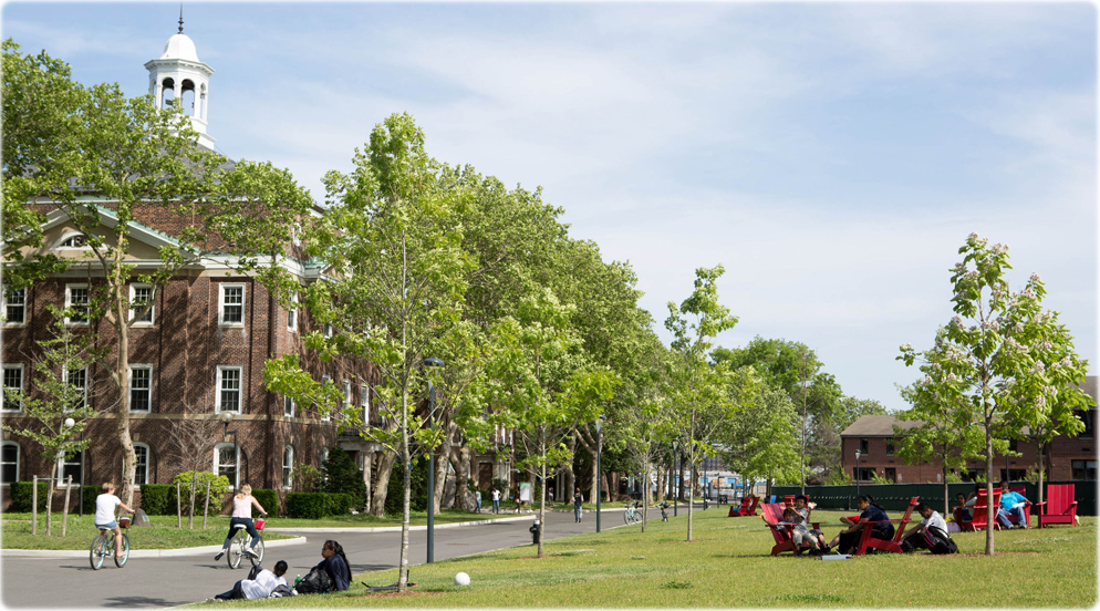
Scene in Governors Island, 2015 (credit: Kate Glicksberg / NYC & Company).

Governors Island in the Upper New York Bay, modified map from National Park Service (2007).

Governors Island in the Ratzer's Plan 1766- 1767.


Fort Columbus
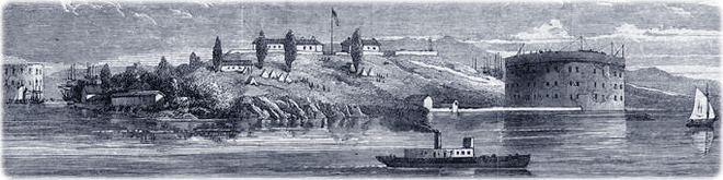
Governors Island in the 19th century, illustration published in 1865 (from NYPL).
Governors Island - Vintage Images