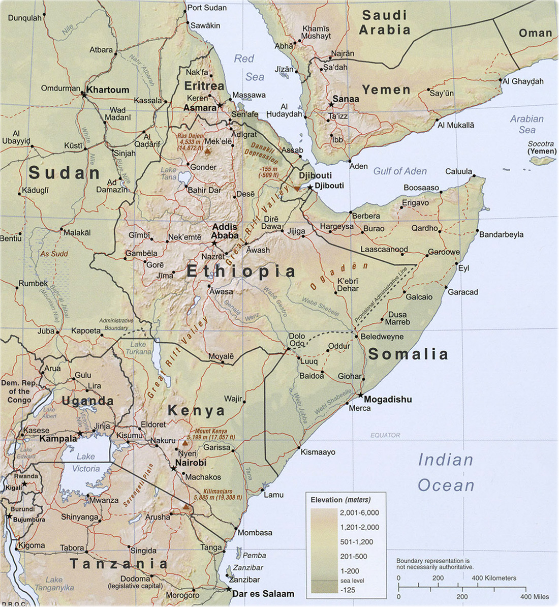
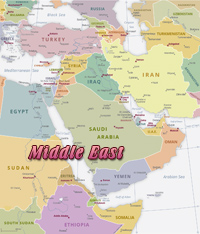
Map of the Horn of Africa


The Horn of Africa or the Somali Peninsula is a large peninsula in East Africa. Located on the easternmost part of the African mainland, it is the fourth largest peninsula in the world. The peninsula has been known by various names. Ancient Greeks and Romans referred to it as Regio Aromatica or Regio Cinnamonifora after the aromatic plants found there, or as Regio Incognita for its poor coverage by classical Mediterranean cartography. In ancient and medieval times, the Horn of Africa was referred to as the Bilad al Barbar ("Land of the Berbers"). In the Somali language as Geeska Afrika or Jasiiradda Soomaali. Coffee originated in Ethiopia and has since spread to become a worldwide beverage.

Maps of the African Countries in the Horn of Africa: Tanzania, Kenya, Uganda, Somalia, Ethiopia, Sudan and Eritrea.
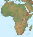
 It also shares a maritime border with the Arabian Peninsula.


Horn of Africa


Africa image


Map african countries


Globe Europe


Africa


Indian Ocean


Africa Maps


Map: U.S. CIA, 2009


Copyright © Geographic Guide - Travel. African Continent.


Sahara


Middle East


Earth


Africa map


Africa Travel