
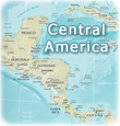
Image of Central America and The Caribbean
More islands of the Caribbean Sea. Cuba, Dominican Republic and Tobago. Antigua, Antilles and Aruba.
Necker Island British Virgin Islands, Caribbean Sea.
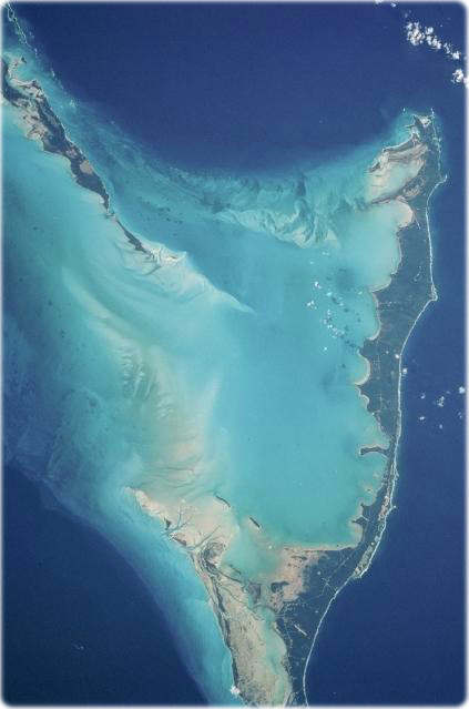
The vivid blues of the Bahamas stand out from space. The northern half of Long Island and the southern half of Great Exuma Island (extending to the northwest) are on the eastern side of the Great Bahama Bank and form the borders of Exuma Sound (NASA).
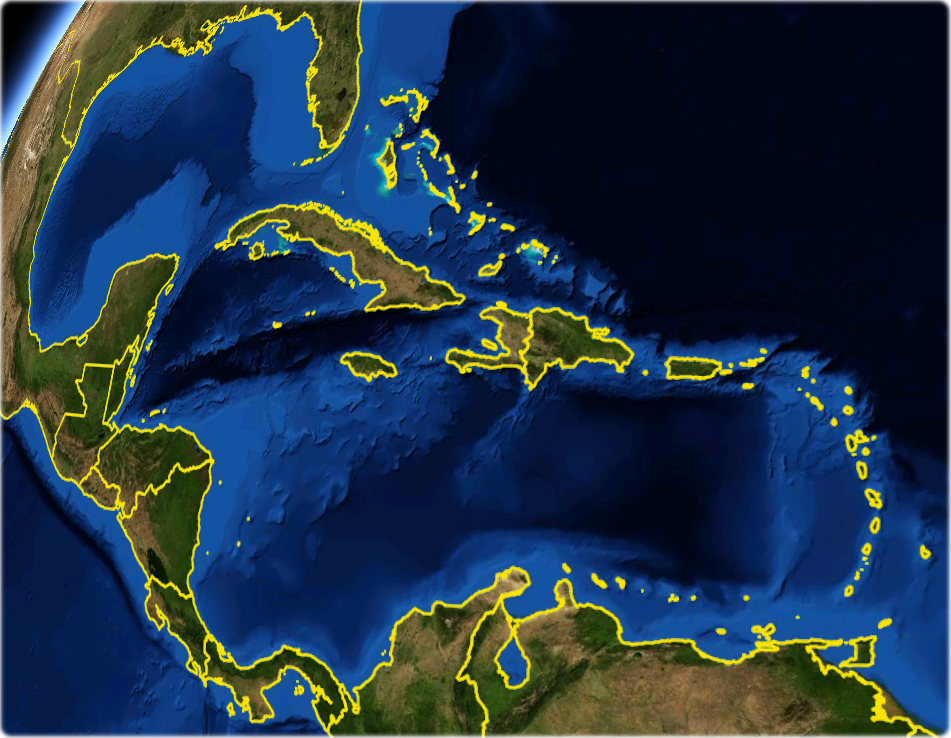
Virgins Islands


Colombia
Venezuela
Mexico

The Bahamas
Image of Central America and The Caribbean
Atlantic Ocean
|
Copyright © Geographic - Images of the Planet Earth. |
Gulf of Mexico
Nicaragua
Jamaica
U.S.A.
Pacific Ocean
NASA